

The United States acquired a vast portion of North American land from Great Britain after the victory of the American War for Independence, or the Revolutionary War. Every square mile of the land that the former colonies gained was claimed by at least one original state, but large areas of land would eventually be ceded to the Federal Government to later become new states. Most of that ceded land came from Virginia; you can read more about the huge cession of Virginia in my other post.
If you look at the states alone, the United States has had some unusual shapes over time: from the thirteen original states, to the time when Texas’ shape went through that awkward stage, and to the time when the states were separated by a central gap.
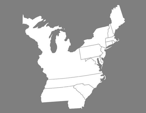
However, if you include America’s territories along with the states, you get another unusual, yet potentially more familiar, shape. One of the very first shapes of the US was in the year 1776, when the US claimed independence. The land claimed, and eventually won, by the United States stretched from north of Florida to south of New Brunswick, and from the Atlantic Ocean to the Mississippi River. The US was sandwiched between three nations: Spain to the South, France to the West, and Great Britain to the North, but things were soon to change!
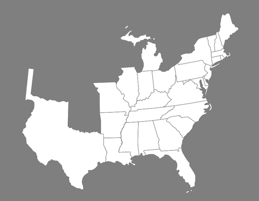
The territory of Louisiana had been transferred from one nation to another several times in the eighteenth and nineteenth centuries. In the mid eighteenth century, France was in control of the Louisiana Territory, but ceded the section of the territory west of the Mississippi River to Spain. Soon after that cession, France transferred nearly all of its remaining possessions to Great Britain. However, France wanted to recover the section of territory from Spain, to which Spain reluctantly agreed. The United States heard about the retrocession of Louisiana Territory and was looking to buy a small portion of the neighboring Louisiana Territory for a maximum of $10 million, but France agreed to sell the entire territory for $15 million, which the US promptly accepted. With the purchase of Louisiana Territory, the United States more than doubled in size!
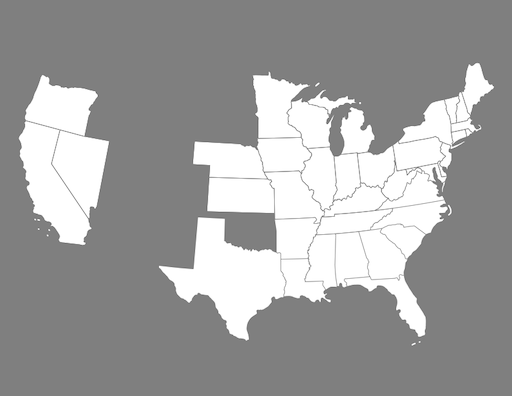
The United States continued to expand westward and claimed Oregon Country and even annexed Texas. Due to a lack of agreement on a border, Oregon Country was shared between the United States and the United Kingdom, formerly known as Great Britain, until it was eventually agreed that the border would follow the 49th parallel to the strait of Georgia.

The Civil War tore the Union apart, and the Confederate States began claiming territory from the United States. Though the United States did expel the eleven, confederate states from Congress, the US did not officially recognize the Confederate States of America as a sovereign nation.


In the present day, all of these territories claimed by the United States are states. The US also now has two, non-contiguous states, Alaska and Hawaii, along with fourteen territories, though I personally feel it is unlikely for any of these territories to become states, especially the uninhabited ones.
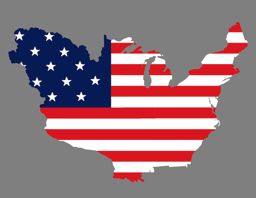
What is your favorite shape of the United States?

Very interesting to see how the shape has changed over time!
LikeLiked by 1 person
It really is interesting! I’m glad you enjoyed, thanks for checking out my post!
LikeLike