

Minnesota is home of Minneapolis, also known as the Mini Apple. Many place names start with “Min” or “Minne” in Minnesota, so I took the liberty of titling this post with the toponym, The Minne-Angle.
Have you ever asked why Minnesota has a tip? Did you know that it is the furthest north contiguous state? Maybe you didn’t even realize that portions of Minnesota have been with the United States since the declaration of independence.
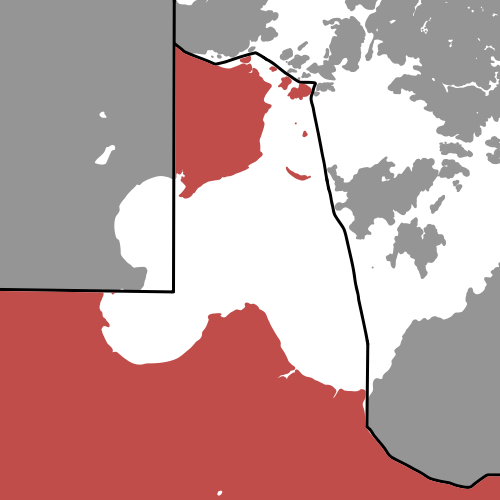
Maybe I am alone and strange in my observations, yet it is interesting to note that America’s straight border with Canada does not begin until after Minnesota’s northwestern tip.
What is even more odd about this northwestern piece of land, known as the Northwest Angle, is that it’s entirely separated from the rest of Minnesota by a body of water named “Lake of the Woods,” and the only way to drive to the Northwest Angle is through Canada.
Why does Minnesota have the Northwest Angle?
It all starts at the end of the Revolutionary War, after the signing of the Treaty of Paris of 1783, when the US and England were settling the borders between the United States and Canada. It was decided that the US-Canada border would extend up to the northwestern-most point of Lake of the Woods, and then due west to the Mississippi River, but that was geographically impossible.
Lake of the Woods didn’t exactly have a clear northwest corner, and the Mississippi River was not west of the lake, but south! Eventually, after years filled with negotiations and surveys, it was agreed that the border would run from the Northwest Angle, due south to the 49th parallel, and then due west along that parallel.
This agreement formed Minnesota’s northwestern corner and potentially set the precedent for the western US-Canada border to be on the 49th parallel. What we are left with is an “Angle” of land that is separate from mainland Minnesota, and a truly unique protrusion in America’s northern border. Although, if I was to name it, it might have been called the “Northwest Nugget.”
Another fun fact is that Minnesota’s Northwest Angle was part of the territory claimed by the United States since the beginning of the Revolutionary War, in 1775. The total area of Lake of the Woods County, MN, which includes the Northwest Angle, is 1775 square miles!
What do you think of the Northwest Nugget – I mean Angle?

You write about many things I have never thought about, but now I am glad I know.
LikeLiked by 1 person
I am glad to share uncommon thoughts. Thanks for reading my posts!
LikeLike