

Every state’s shape is quite distinct as they often consist of an amalgamation of rivers and parallels or meridians. Several states’ shapes are easily identified by many, such as Texas and California, though the most unremarkable state shapes are perhaps those of Colorado and Wyoming.

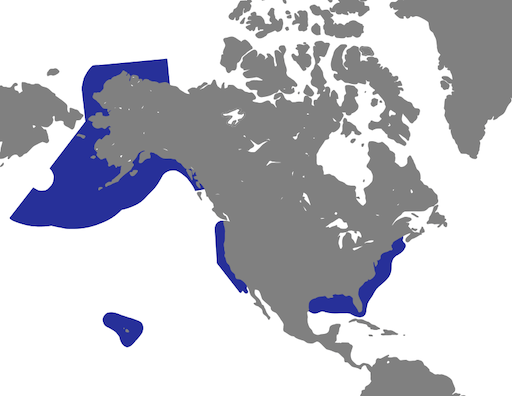
What is infrequently regarded is that, unlike most other nations, each of America’s 23 coastal states have a range of ocean that they control, meaning that their borders technically extend beyond the coast; the furthest reaches of the United States’ maritime boundaries are 200 nautical miles from the shore, though most of these waters are designated as the Exclusive Economic Zone. It is difficult to describe the exact borders of either America or its individual states without being absorbed in specifications and the complexities of international agreements.
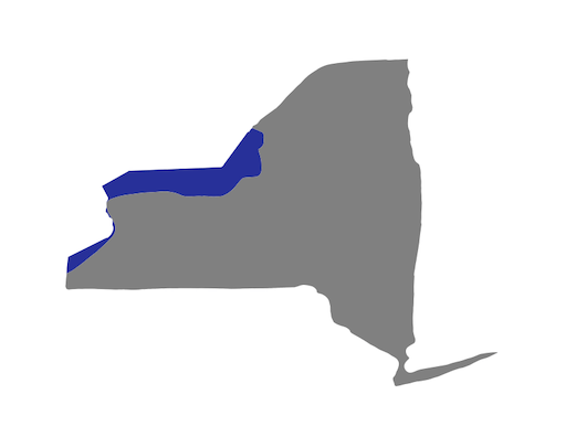
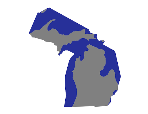
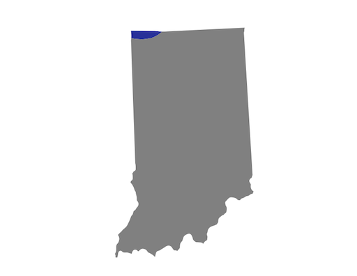
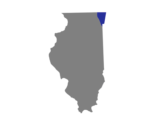
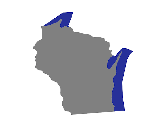
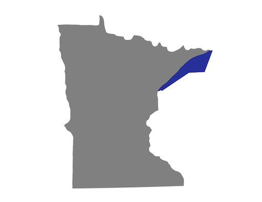
However, the offshore boundaries of the states that lie along the Great Lakes are clearly defined, therefore, the states of New York, Pennsylvania, Ohio, Michigan, Indiana, Illinois, Wisconsin, and Minnesota have underrepresented and bizarre borders, the most unrecognizable of which is flamboyant Michigan, while Indiana appears to be ripped off as it possess the smallest portion of the Great Lakes.


In total, there are 30 coastal and Great Lakes states, meaning that 60% of the states have access to a major body of water; this also means that only 40% of the states are landlocked, which is rather surprising for a nation with vast stretches of land between the coasts.
What is your favorite Great Lake?
